Other Gallery Entries
DIVA GIS – International Potato Centre (CIP)
Background
The International Potato Centre (CIP) in Lima, Peru, is part of the Consultative Group of International Agricultural Research (CGIAR).
![]()
![]()
![]() Members include 25 developing and 22 industrialized countries, 4 private foundations, and 13 regional and international organizations. The Food and Agriculture Organization of the United Nations (FAO), the International Fund for Agricultural Development (IFAD), the United Nations Development Programme (UNDP), and the World Bank serve as cosponsors of CGIAR.
Members include 25 developing and 22 industrialized countries, 4 private foundations, and 13 regional and international organizations. The Food and Agriculture Organization of the United Nations (FAO), the International Fund for Agricultural Development (IFAD), the United Nations Development Programme (UNDP), and the World Bank serve as cosponsors of CGIAR.
The International Potato Center (CIP) seeks to reduce poverty and achieve food security on a sustained basis in developing countries through scientific research and related activities on potato, sweetpotato, and other root and tuber crops and on the improved management of natural resources in the Andes and other mountain areas. The mission of CIP includes the maintenance of the international genebank for potatoes and sweetpotatoes as held in-trust from FAO (Food and Agricultural Organization).
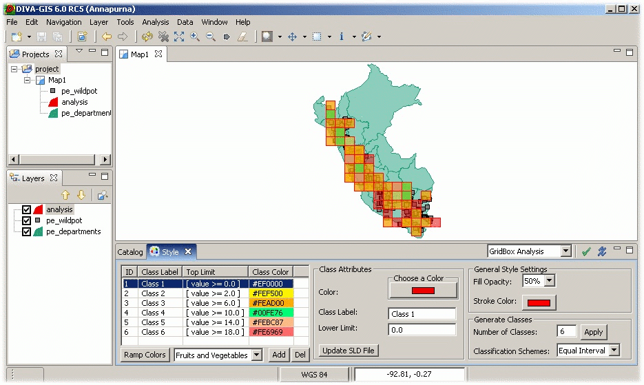
Buiding DIVA GIS
CIP's activities in GIS include the documentation of the provenance of plant materials in the genebank as well as its analysis for planning and coordinating conservation efforts in-situ and ex-situ – for example anticipating adverse effects like erosion, urbanization, tourism, mining, and climate change on biodiverse hot-spots of potato species. Other spatially enabled applications include tools for breeders: for example, characterization of trial sites and potential cultivation sites of new varieties.
DIVA-GIS started out as data curation tool to transfer descriptive location data into geo-coded decimal data sets, and acquired additional functionality for biodiversity analysis and crop prediction based on climate data.
A former Delphi version used a proprietary GIS engine with a favorable license. CIP decided to move this application to open source to remove the dependency on a proprietary license, to overhaul its “overgrown” architecture, to move to a cross-platform framework, and to open up its code for peer-review.
After comparison with several other potential candidates in Java we finally adopted uDig as a spatial framework. uDig is built on both an established GIS independent framework (allowing integration with other applications), includes a well-tested GIS library (GeoTools), and has a very favorable open source licensing model.
Experiences with uDig
So far, perhaps the most important aspect for us has been uDig's use of the Eclipse Rich Client Platform (RCP) framework as this had several side benefits. Apart from the modern modular approach, the RCP has allowed the adoption of a uniform rich client framework within a major project (see below), improved productivity and promoted the adoption of higher standards in our programming team.
DIVA-GIS is currently developed at CIP mainly within the context of the Generation Challenge Program (GCP) – a collaboration of CGIAR centers with other partners to apply genomics to crop breeding. Currently, DIVA-GIS is expanding functionality in several directions: one is, to adopt more data import protocols – notably BioCASE. BioCASE is a new standard for data exchange of biological collections.
Another area is the use of High Performance Computing facilities within the GCP: DIVA-GIS will use remote access to R spatial statistics libraries to reduce calculation time for certain applications.
The last focus is towards more support for breeders – that is, mainly supporting deployment of new varieties. This latter focus is the reason behind the version name – “Annapurna”, Sanskrit for “plentiful harvest”. Annapurna is at the same time a mountain landmark in Nepal, one of the poorest countries in the world.
About uDig
uDig is an open source desktop GIS application framework, distributed under dual EPL and BSD license.
uDig provides:
- An out-of-the-box application, with the ability to view, edit and print files, database (Oracle, SDE, PostGIS) and Web Feature Servers (WFS).
- An industry-standard extension framework (RCP) for adding new functionality to the application.
- A rich toolkit of Java functionality, ready for developers to build on.
- Native support for Windows, Mac OS/X and Linux.
uDig is developed by a world-wide community of contributors, with an open process and transparent decision making.
About Refractions
Refractions Research is a consulting and systems integration company, with industry-leading exertise in enterprise geospatial applications. Refractions initiated and now hosts the uDig and, PostGIS projects, and continues to provide core development, training and consulting on the projects.