WMS and WFS Integration
In this section we will use uDig to display contents from our local Web Feature Server. We will also make use of some of the more interesting selection features.
Start uDig, from the menubar select File ‣ New Map to create a new map.
Make sure your local GeoServer is started and ready to go.
You can run GeoServer from the Start menu.
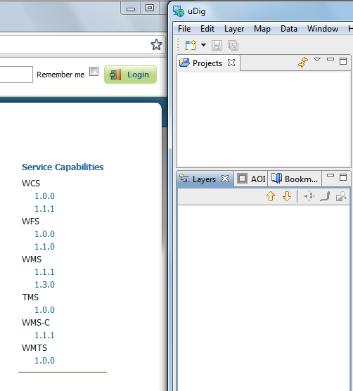
Navigate to the GeoServer Welcome page: http://localhost:8080/geoserver/
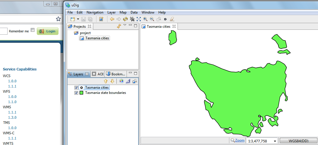
Drag and Drop the WMS 1.1.1 Capabilities link on to your Map.
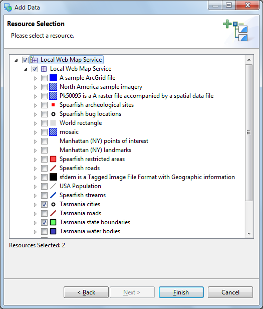
- This will bring up the Add Data wizard allowing you to choose which Layers
are added to your map.
Select Tasmania state boundaries and Tasmania cities and Press the Finish button.
Move tasmania_cities_Type to the top of your layers view.

Drag and Drop the WFS 1.0.0 Capabilities link on to your Map.
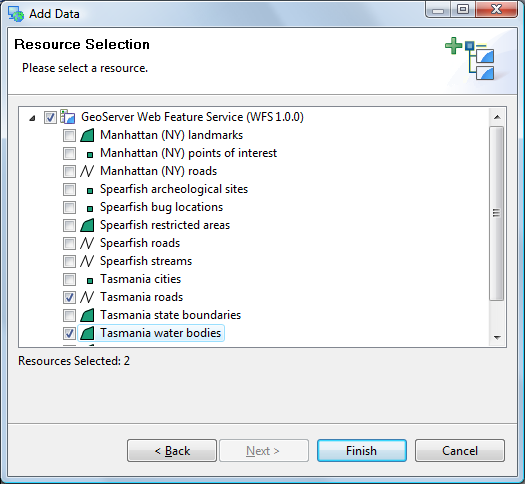
This will bring up a Dialog allowing you to choose which Layers you wish to see.
Select Tasmania roads and Tasmania water bodies and press the Finish button.
Select the Map in the projects view and choose File ‣ Rename menu item.
Rename to Tasmania.
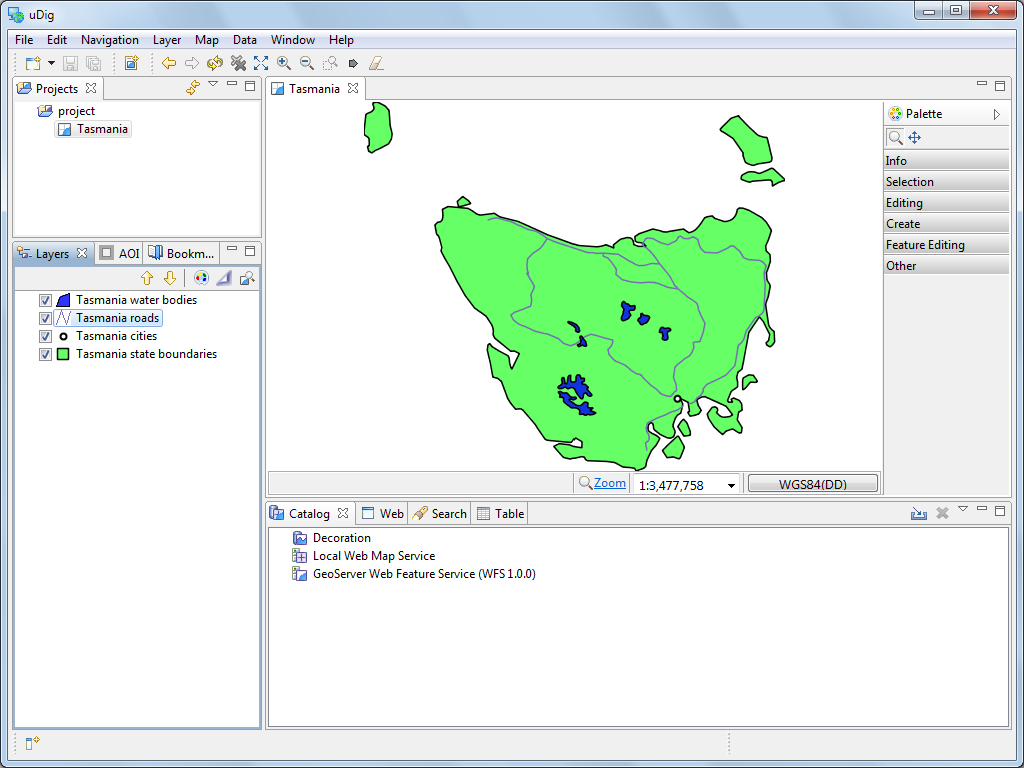
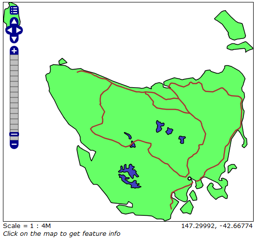
You can compare your map with what is shown by GeoServers layer preview for the Tasmania layer.
