Web View
In this section you will learn how to use the embedded web browser. The web browser automatically recognizes spatial data and will open links in your current map as you browse online catalogs.
Create a new map and rename the map to be called Canada.
Switch to the Web view by selected its tab located along the bottom of the workbench window next to the Catalog view.
Click on the WMS link for dm solutions.

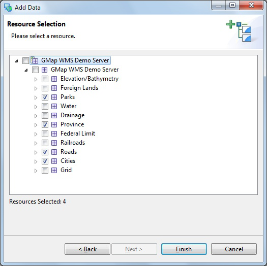
The Add Layer wizard will open (uDig automatically recognize links to spatial content).
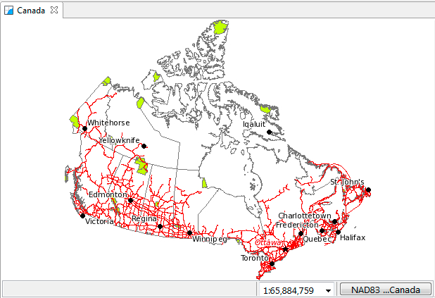
- Choose the Parks, Provice, Roads and Cities layers and press Finish.

- You can use the Web view with your own website for easy spatial visualization.
We will use this map in the next section as we explore reprojection.
