Exporting to Shape file
In addition to editing content from many sources, you can also export content to a shapefile.
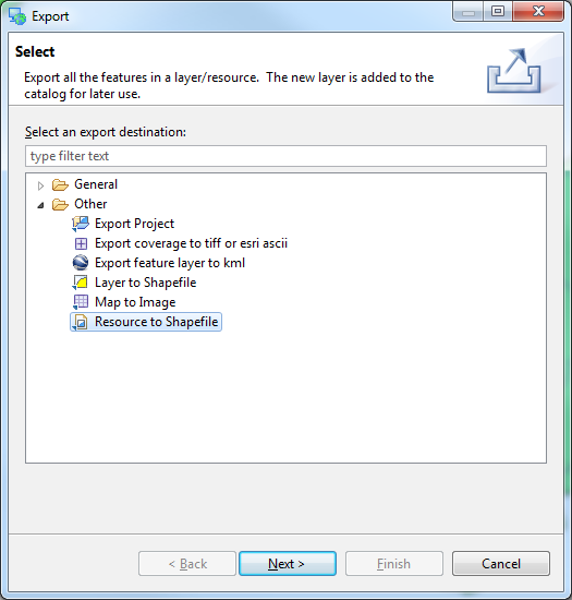
With Tasmania roads selected, choose File ‣ Export from the menu bar
Select the Resource to Shapefile and press Next

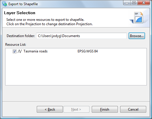
Your Tasmania roads layer will be available for export, you can see that it is in the “WGS84” projection.

Hint
The projection for your data is listed to the right. Click on this value to transform your data into a different projection.
Press Finish to save the file to disk.
Exported files are added to the catalog.
