What to do Next
Congratulations you have finished the first Walkthrough 1.
This is just the start of what uDig can do!
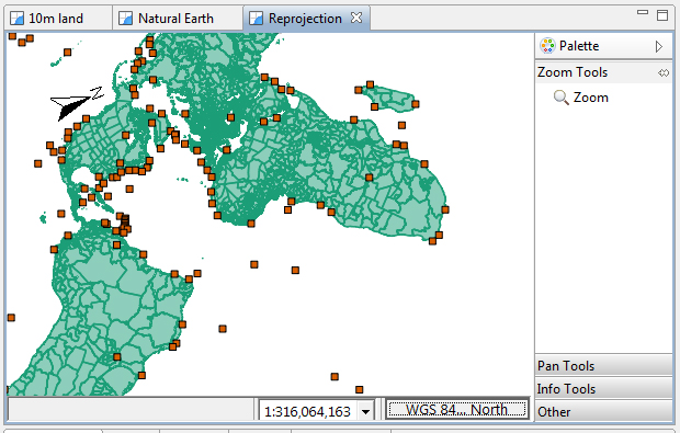
Try out the North Arrow decorator and change projections in order to see how it works.

There is more great data available in the data directory - have a look !
This information has been collected by the natural Earth project. Their website contains more detailed downloads and a host of additional data.
Try downloading the same data at several scales and compare the results.
Try right-clicking on a Layer - there is plenty to do (especially in the Operations menu).
Try making use of spatial information from your organisation or government.
Try out the navigation tools such as Zoom and Pan. The Navigation menu lets you you retrace your steps.
Changing coordinate reference system is also considered a navigation command.
Advanced: Use the Style Editor to switch automatically from a raster layer to a web service.
Switching based on scale allows for performance when zoomed out, while still providing full resolution when zoomed in.
Advanced: Open the Style Editor and have a look at the Advanced (XML) page and see what you make of it.
Perhaps you have an idea for the tool you always wanted?
Developer tutorials including how to make a custom tool and create a custom application are available on the project web site.
If you are not stuck behind a firewall you can try Adding a Layer from PostGIS.
Additional features can be installed Install Plugin.