Zoom
In order to use the zoom tool, you must have a map open.
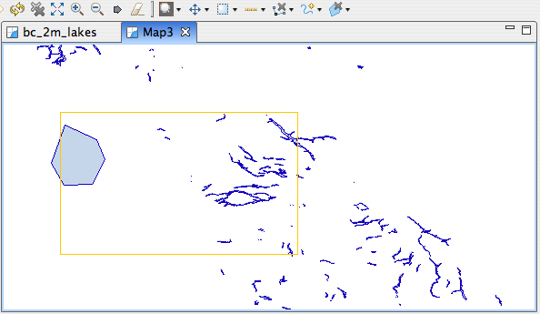
Open the swamps map and select the zoom tool.
Click on a point on the map. Do not release the mouse button.
While still holding the mouse button down, pull the mouse away from the point where you clicked. Notice how a rectangle appears and grows as you move further away from the point.
Release the mouse button. The area that was inside the zoom box will now be displayed in the map editor.
Hint
To zoom out, perform the same operation with right mouse button
You can also control the Map scale using the Show Full Map, Zoom In and Zoom Out buttons, shown below, or by rolling the mouse wheel. On platform without a mouse wheel you may hold down the ALT key while dragging the mouse to the left and right.

Additional navigation commands, such as show all or show layer are available in the toolbar or from the Layers view.
All navigation commands are available in the Navigation menu. Navigation history is maintained, allowing you to browse backwards and forwards to previous locations.
Keyboard Shortcuts
- ALT + left arrow - Navigate to last view locations
- ALT + right arrow - Navigate forward to the next location in the history
- CTRL + = - Zoom in
- CTRL + - - Zoom out
- CTRL + BACKSPACE - Show all