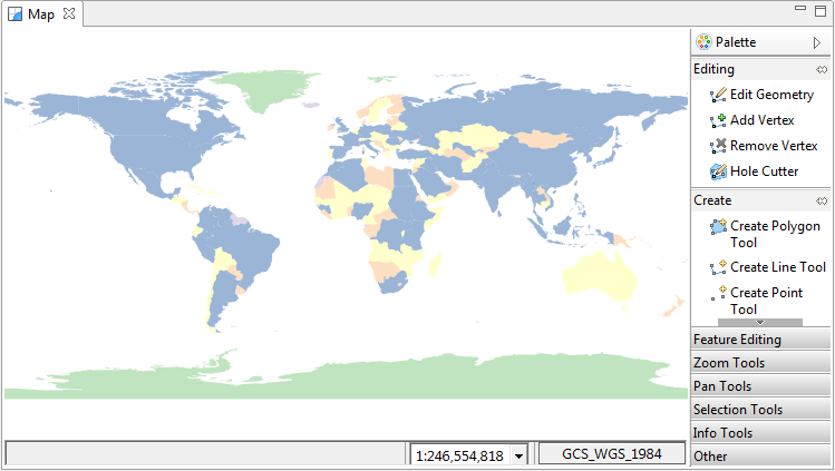
Map editor
In the Map Editor,you can visualize and edit spatial information. The spatial information is organized into a series of Layers.
Please note that many support views are designed to facilitate the use of the Map Editor; often making use of it for display and interaction.
Tools
Interaction with the Map Editor is defined by the current tool being used. Tools are primary found in the tool palette on the right of the map, although custom tools for specific needs can be found in the appropriate view.
You can hide and show the tool palette by clicking the small arrow on the top right of the palette
( ) and (
 ). This can be useful if you need more room to view your map and have little
need for the tools.
). This can be useful if you need more room to view your map and have little
need for the tools.
The selected tool will be displayed with a highlighted background as in the image below
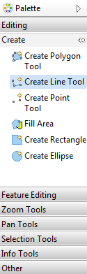
To find different tools click the draw corresponding to the tool set you wish to use, each draw will contain different contextual tools, for instance the Pan Tools draw has tools for panning around the map and the Editing draw has tools specifically for editing features.
Tools are arranged into the following categories:
Status Bar
The status bar is used to make available additional information about the context of the current map.
Tool Options
Gives quick access to common tool preferences for the current active tool. Clicking on the tool name will open the preference page associated with that tool.
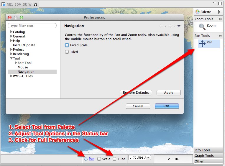
Scale
Shows the scale of the map. You can enter a new number here to change the scale to an exact value.
Coordinate Reference System Display
Used to display the current projection of the Map. Clicking on the button will open a dialog allowing the projection to be changed
Location
Displays the current or last location of the Mouse in the Map Editor. Entering 2 numbers separated by spaces or commas will centre the map editor at that location.
If LL or LATLONG (case doesn’t matter) is at the end, the position will be assumed to be in WGS84 and will be correctly transformed