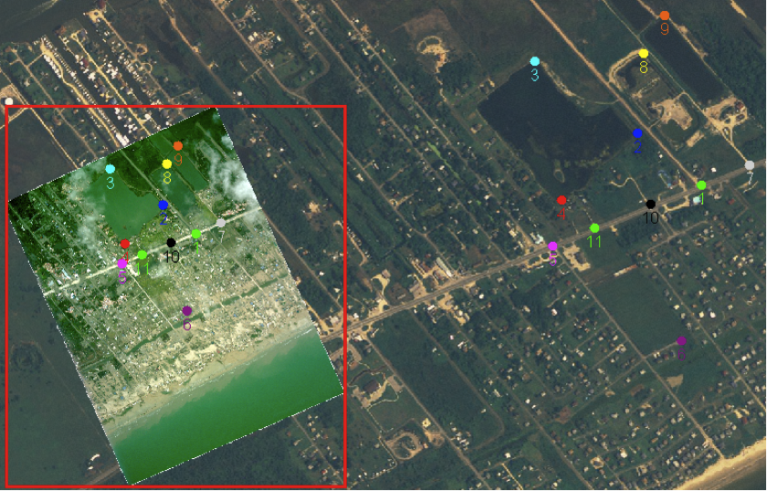
Georeference
The process of “georeferencing” an image allows you to place a normal PNG or JPEG image onto a map. Many spatial image contain enough information allowing them to be placed in the correct location automatically.
Related tasks
Related reference